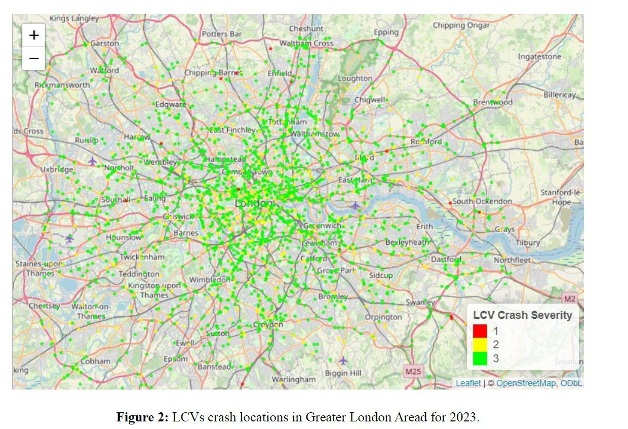
Connected vehicles will become the new industry standard in the foreseeable future. Despite this promising trajectory, and despite a parallel stagnation of progress towards the suppression of road crashes, connected vehicle data is rarely exploited and even more rarely investigated in depth in order to serve as surrogate safety measures. This paper aims to showcase a large dataset of naturalistic connected vehicle data, present its overall profile and examine its potential for road safety analysis. The dataset includes a large subset of observations of real LGV trips in the Greater London Area of the UK. Several of its properties are analyzed. Potential surrogate safety measure uses are showcased by conducting spatial analysis on harsh braking (i.e. deceleration g-force) values, including metrics such as cross-Nearest-Neighbor and Ripley’s Cross K12 function analyses. The harsh braking SSMs are also contrasted with existing crashes in the region. Certain interesting results are obtained, including the facts that there is strong spatial correlation with connected LCV harsh braking counts and LCV-involving crashes, as well as the fact that LCV crash points are more likely to manifest near harsh braking points in the particular dataset compared to a random spatial distribution.
| ID | pc564 |
| Presentation | |
| Full Text | |
| Tags |