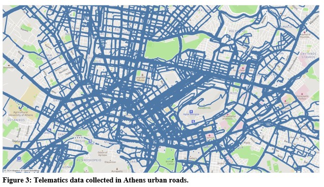
Accurately assessing and predicting traffic crashes is essential for improving urban traffic safety and implementing targeted interventions. Traditional crash analysis relies heavily on historical crash records, which, while valuable, often face limitations such as underreporting, delays in data collection, and insufficient granularity. These challenges highlight the pressing need for innovative approaches to traffic safety analysis that are more dynamic, granular, and predictive. This study explores the relationship between unsafe traffic events—specifically harsh braking and acceleration—and crash occurrences at 478 intersections in central Athens. Using telematics data from 2019 obtained through smartphone applications and crash records sourced from traffic police reports, the analysis integrates these datasets to examine the spatial dimensions of unsafe traffic events and their potential to classify intersections based on crash risk. The research utilises patterns and observations derived from telematics data to identify “dangerous” hotspots and evaluate the predictive capabilities of unsafe traffic event data. Advanced statistical methods, geospatial tools, and machine learning models were employed to uncover factors influencing crash occurrences. Machine learning techniques were particularly valuable in extracting complex patterns and relationships, improving the understanding of crash risk factors at both primary and secondary road intersections. By leveraging unsafe traffic events as a supplementary resource to traditional crash records, this study highlights the value of telematics-based data for proactive safety analysis. The findings demonstrate how telematics and smartphone applications can complement traditional crash data, enabling data-driven traffic safety management with actionable urban planning and policymaking insights to enhance road safety.
| ID | pc574 |
| Presentation | |
| Full Text | |
| Tags |