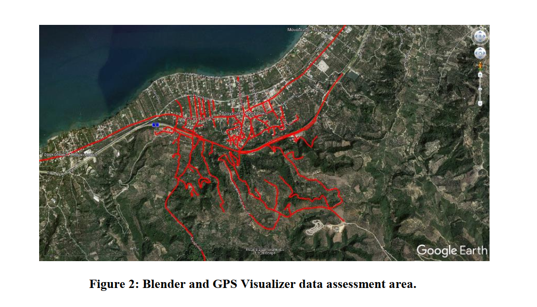
Accident prediction modelling is increasingly used internationally to enhance evidence-based road safety decision making. Yet, the availability of detailed and good quality data on road accidents and related casualties, infrastructure geometric characteristics (e.g. curve radius, lane width, etc.) and traffic attributes (e.g. AADT) consists a basic prerequisite not only for the development of such models but also for their efficient use by road safety practitioners. Within the above context, the aim of this paper is to investigate and discuss the availability and accuracy of accident modelling data in the primary rural road network of Greece, focusing on three types of data that are considered most critical: accident, traffic and road geometry data. With regards to accident data, a case study in the sub-region of Viotia is presented, focusing on the identification of the percentage of accidents that can be accurately geo-located and used for modelling purposes. Concerning traffic data, an exploration of the coverage of the road network by spot traffic measurements also in the sub-region of Viotia is performed and discussed. On geometric design data, the paper focuses on a section of Patras-Pyrgos two-lane highway and examines the accuracy of data that can be obtained through two common Open GIS Data Platforms (“Blender” software and SRTM data through the GPS Visualizer platform), by comparing them with the actual data retrieved from a topographic survey of the highway. From the study it can be concluded that road accident prediction modelling in the rural road network of Greece can potentially be performed only on motorways, provided that an arduous and resource-consuming process is applied to collect and code missing geometric design data. In other rural roads, the absence of traffic volume estimations and even more, of properly geo-located accident data, is an impermeable barrier to such efforts.
| ID | pc441 |
| Presentation | |
| Full Text | |
| Tags |