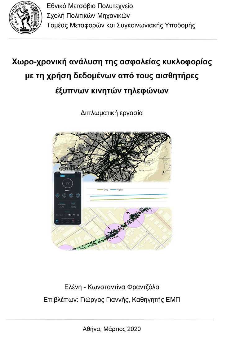
An NTUA Diploma Thesis titled “Spatio-temporal analysis of traffic safety using data from smartphone sensors” was recently presented by Elina Frantzola. Data from the OSeven smartphone application on driver behaviour were combined with traffic data from the Athens Traffic Management Centre and the respective geometric characteristics from Google Maps in order to produce the respective GIS maps and allow for statistical analysis. The statistical models developed demonstrated that traffic characteristics (traffic speed and occupancy) have the most statistically significant impact on the frequency of harsh events compared to road geometric characteristics and driver behaviour data. Finally, a strong correlation between harsh events and time variation was found, indicating an overall increase in harsh events during nighttime. ![]()
![]()